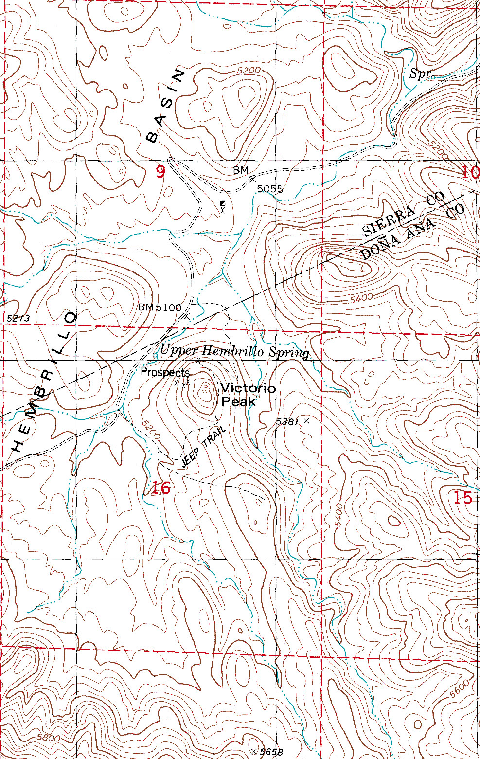
File:USGS topo map of New Mexico, Hembrillo Basin, Victorio Peak - 1981.jpg
From Kook Science
Size of this preview: 379 × 599 pixels. Other resolution: 987 × 1,560 pixels.
Original file (987 × 1,560 pixels, file size: 943 KB, MIME type: image/jpeg)
Summary
Cropped to focus on Victorio Peak and surrounding basin; original map, USGS DRG o map of New_Mexico 32.875N 106.625W H6 Hembrillo Basin: https://archive.org/details/usgs_drg_nm_32106_h6
Licensing
| This file has been released into the public domain by the copyright holder, its copyright has expired, or it is ineligible for copyright. |
File history
Click on a date/time to view the file as it appeared at that time.
| Date/Time | Thumbnail | Dimensions | User | Comment | |
|---|---|---|---|---|---|
| current | 10:07, 6 April 2019 | | 987 × 1,560 (943 KB) | TK (talk | contribs) | Cropped to focus on Victorio Peak and surrounding basin; original map, USGS DRG o map of New_Mexico 32.875N 106.625W H6 Hembrillo Basin: https://archive.org/details/usgs_drg_nm_32106_h6 |
You cannot overwrite this file.
File usage
The following 2 pages use this file: